ARKANSAS, USA —
WATCH LATEST UPDATE HERE:
Be prepared for rapidly changing conditions on St. Patrick’s day as the next storm system is expected to bring in the potential of nasty storms.
The Storm Prediction Center has placed all of Arkansas under the threat of severe weather beginning early Wednesday morning and continuing through the day.
The higher threat of severe weather is from Little Rock and east under the red zone.


WHAT TO EXPECT:
As a warm front slides in from the south, showers and storms will develop along and south of the boundary during the early morning hours on Wednesday before sunrise. Any storm could produce large hail and damaging winds.
The tornado threat with this round should be slim but still, have your phone and weather radio close to hear an alert if needed.
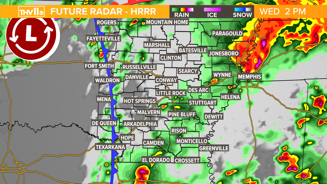
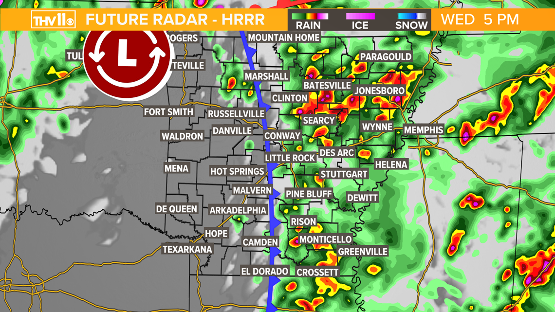
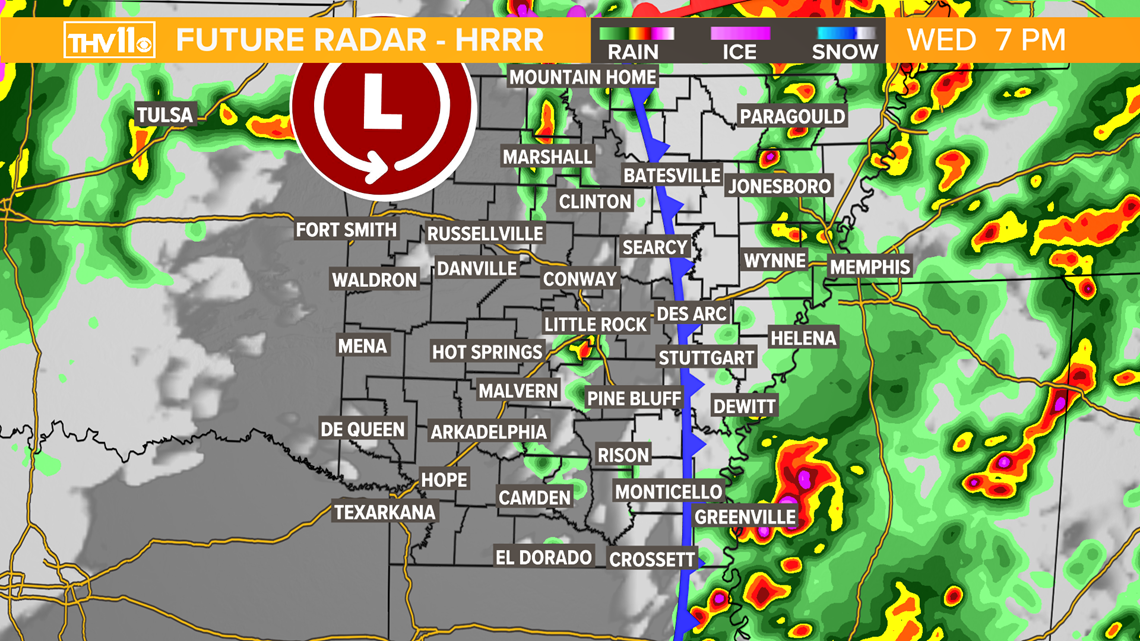
Wednesday morning and through the afternoon scattered to numerous showers and storms can be expected as we wait for the cold front to arrive later in the day. During this time the atmosphere will become recharged and round two could be more intense with a higher threat of a tornado.
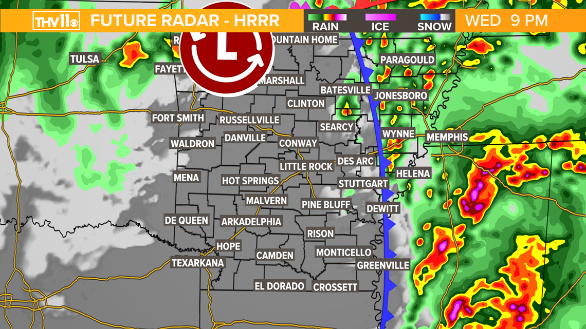
Here is what the future radar may look like through the day:


Any storms on Wednesday could produce damaging winds 50 to 80 mph, quarter size hail that may grow to the size of baseballs in isolated areas. Most tornadoes should be weak but a strong tornado or two can’t be ruled out especially in East AR.

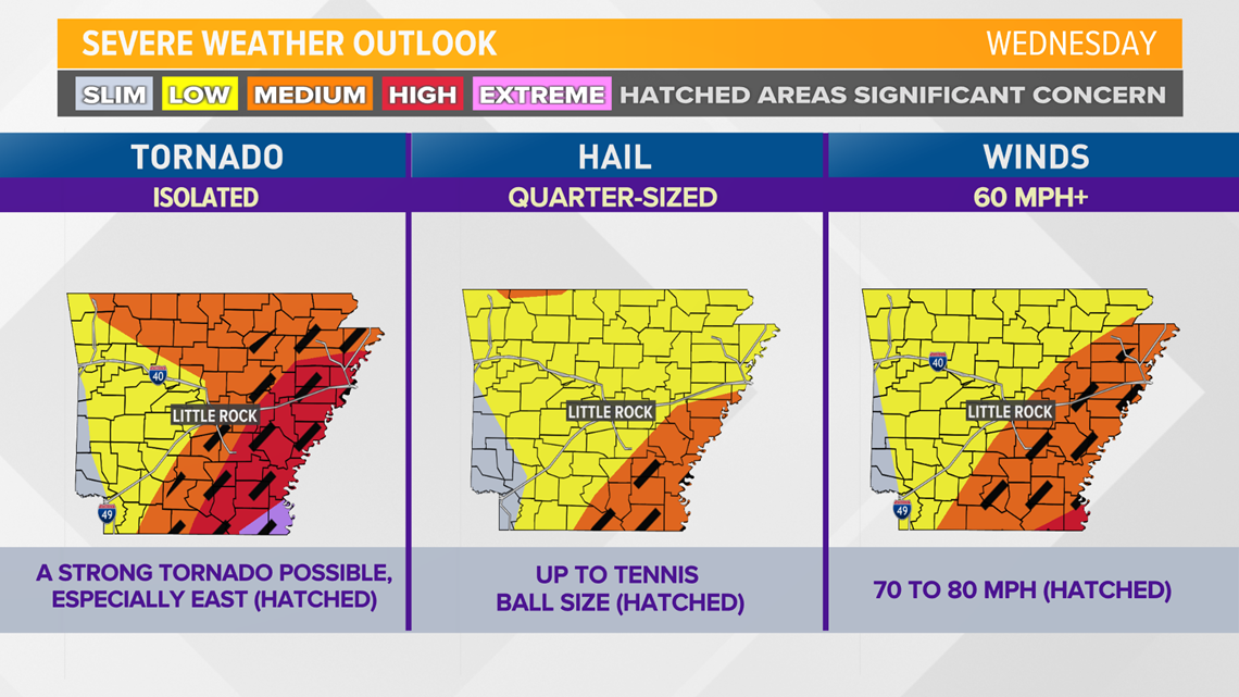
The threat of severe weather will be possible as early as 4 a.m. until 7 p.m. ending from west to east through the day.
Wednesday evening the worst of the weather should be pushing out of the state and skies may clear for a little bit.
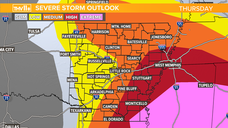
Behind the cold front, it will turn much cooler Thursday with temperatures staying into the 50s.
WHAT YOU SHOULD DO:
Now is the time to prepare on how to respond if a tornado warning is issued for your location. Know where the safest place in your home, work, or business is located.
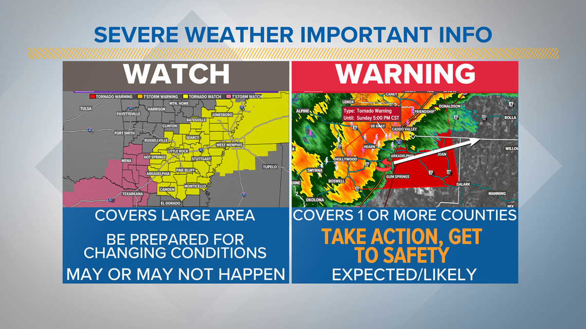
Remember a watch means severe weather is possible to develop, a warning means the severe weather threat has or is expected to happen shortly.

Download or update the THV11 App to receive notifications on the warnings that may be issued. Also, you can watch streaming video on your device if we go live on-air.
Make sure your phone or device is charged and you have several ways of receiving notifications of severe weather warnings.
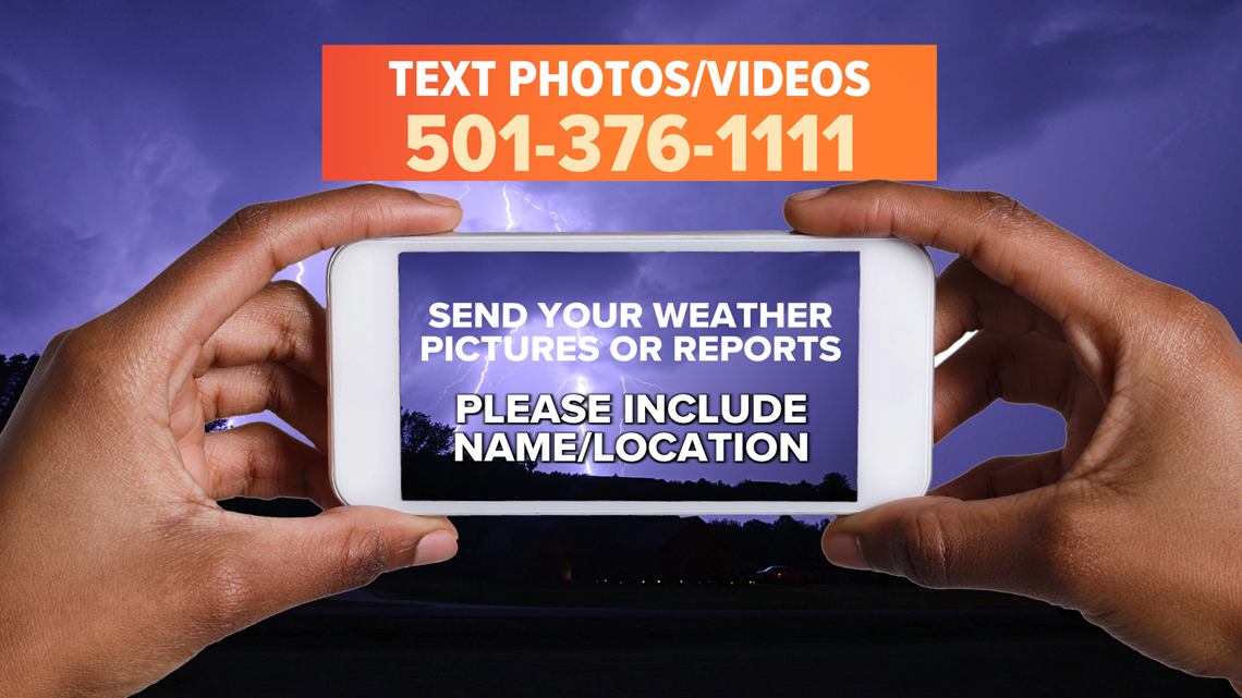
Save the number below to send your reports of video of severe weather. We enjoy getting you reports but make sure you a safe!
Stay safe, stay informed, and watch the latest updates with the THV11 Weather Team.