LITTLE ROCK, Ark. — The threat of severe weather tonight has increased; all modes of severe storms will be possible.
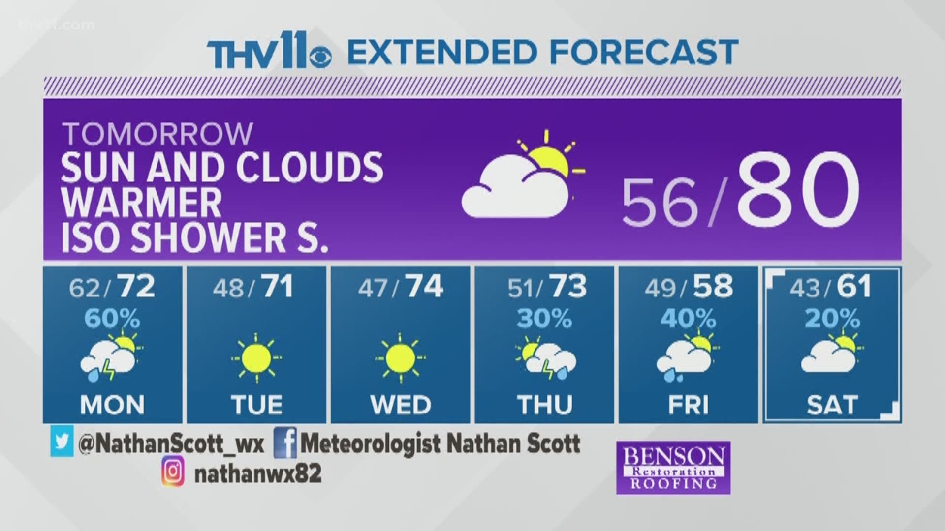
A robust line of storms is forecasted to sweep through Arkansas starting tonight around midnight and finally moving East by midday Monday.
Ingredients are coming together for winds that could cause significant damage and even tornadoes. Other than the previous forecasted "isolated" storms, it looks like the forecast number of dangerous situations may be higher.
While strong wind may not sound intimidating, gusts upward of 60 mph to 65 mph can cause damage to homes. Be on the lookout for trees blowing over, leading to power outages.
The chance for tornadoes is unquestionably possible with this line of storms as well as a few tornadoes could spin up and may or may not last long.
Will be watching for rotation in the line of storms coming through from midnight to mid-morning hours across the state. The best estimate of timing for central Arkansas would be 3 am to 7 am for storms to arrive.
Make sure you have a way to get warnings while you're sleeping and into the morning hours while you are commuting to school and work.
Also remember never to approach a power line that is down, instead report the damage to the power companies.
THV Meteorologists are monitoring the forecast closely.
WEATHER RELATED ARTICLES:

